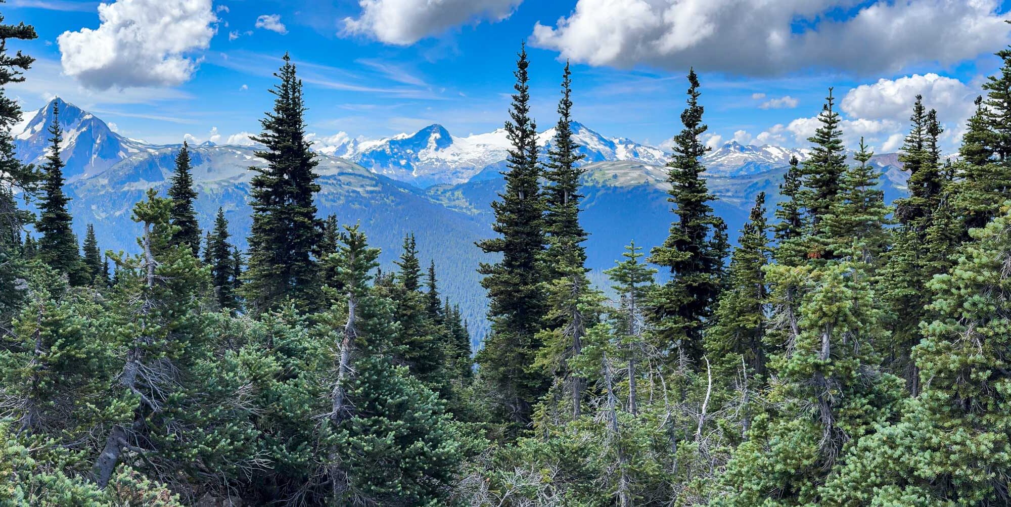
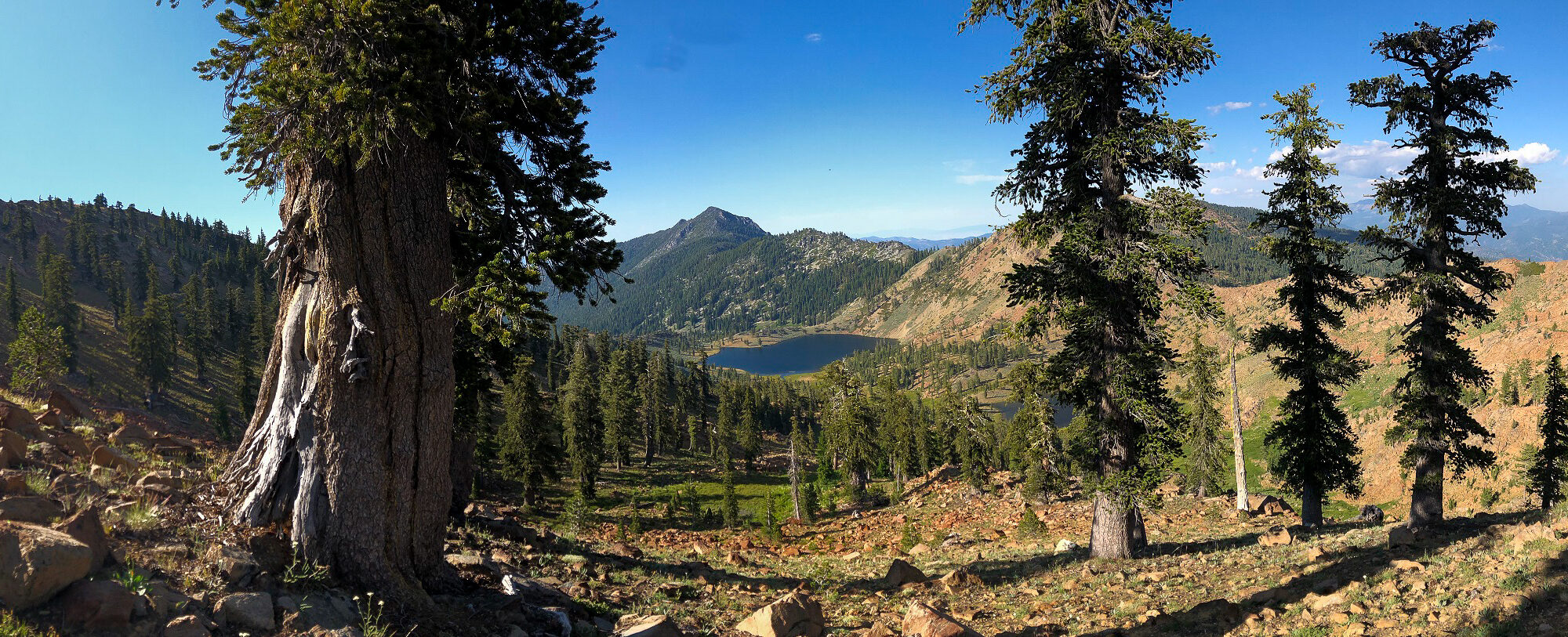
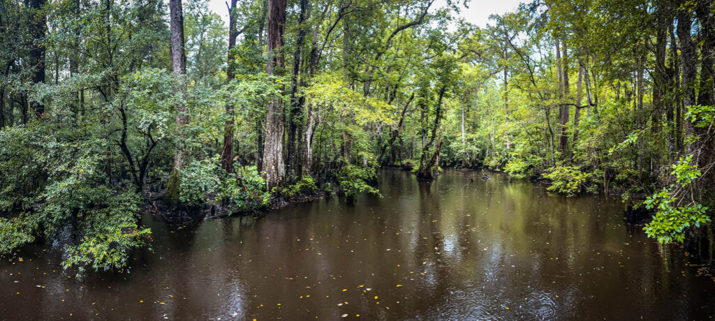
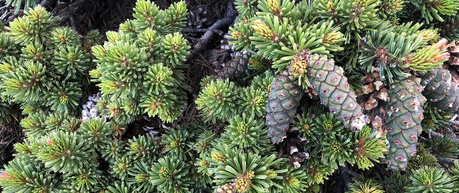
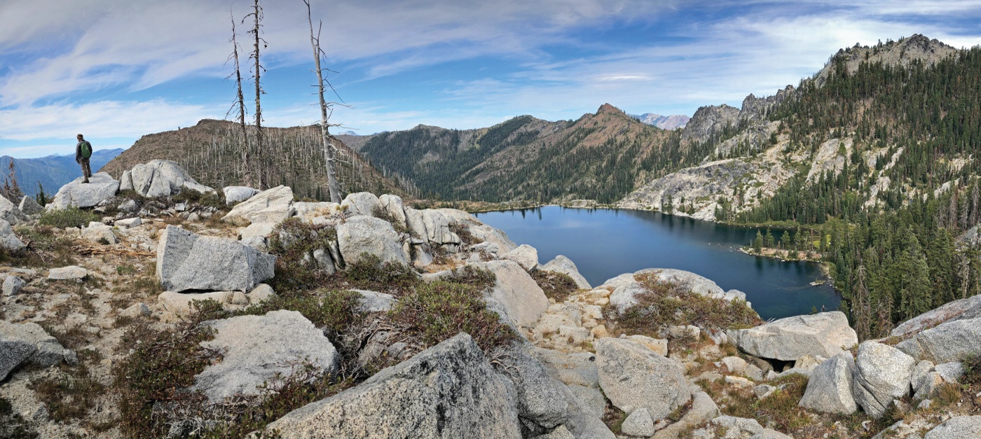
I have made more posts about foxtail pines than any other trees and it is thus no secret that my favorite conifer is a five-needle pine. There are a lot of thoughts and details about five-needle pines swirling around in my world these days–for better or worse (fires and climate change)–so I figure I’ll add to the story with some updates here.
In conjunction with the Klamath National Forest and the California Native Plant Society Vegetation Team, I completed a mapping and inventory project for Pacific silver fir (Abies amabilis) in California. The first part of this project was along the Siskiyou Crest, near the Oregon-California border. This post is about the populations in the Marble Mountain Wilderness.
In 2016 I embarked on a mapping and inventory project for yellow-cedar (Callitropsis nootkatensis) in California. At the time, I called yellow-cedar California’s rarest conifer. In 2019, new discoveries on the north slopes of Copper Butte and Preston Peak brought the total hectares of yellow-cedar in California to ~21 hectares. With this new data, and that collected in this project, we now know Abies amabilis is California’s rarest conifer*! See table below for stand data summary.
*This excludes the neoendemic California cypresses.
Exploring upper Copper and Indian creeks for yellow-cedar
I have been mapping and inventorying yellow-cedar (Callitropsis nootkatensis) in California for the past four years. This process could have been much more efficient if it wasn’t for the 2018 Eclipse Complex and the 2019 Natchez Fire (more below) that virtually closed the Siskiyou Wilderness for the past two summers.
Successful surveys before this year have doubled the previously known area of this rare conifer from approximately 5 hectares in 2015 to 11 hectares by 2018. One of the largest gaps in surveys was within upper Indian and Copper creeks in the Klamath River watershed. I predicted this is where the largest stands of the species would be–little did I know how large an area I would find.
In conjunction with the Klamath National Forest and the California Native Plant Society Vegetation Team, I began a mapping and inventory project for Pacific silver fir (Abies amabilis) in California. The first part of this project was along the Siskiyou Crest, near the Oregon-California border. Later this summer I will visit the other population in the Marble Mountain Wilderness.
Pacific silver fir in California can easily be overlooked because of its similarity to white fir (Abies concolor). Upon close inspection (and by going to specific locations) the differences will become apparent. Silver fir is identifiable in the hand because it has the most distinct and exuberant stomatal bloom of any regional tree. Like grand fir (and regionally white fir) the tips of the needles are notched. The needles splay from the branch on only one side often in a perfect arrays, fanning out in a semi-circular manner. The needles occasionally twist in this array, thus offering distinct silver flashes of the stomatal bloom on the undersides—a brilliant contrast to the dark-green upper surfaces. This is also what sets it apart from white fir, with a duller stomatal bloom. As with other Abies, the smell of crushed needles emits a resinous “pine scent.” The bark is distinct, forming long, narrow, rectangular blocking patterns that seem to melt off the trunks in silvery chunks with subtle reddish hues in the furrows. At a distance, larger trees are gradually tapered, similar to Shasta fir (Abies magnifica var. shastensis). It is an inimitable and rare experience to spend time with this beauty in the Klamath Mountains
For the better part of July I was contracted by the Forest Service Region 5, in a partnership with the CNPS Vegetation Program, to follow up with our 2013 work mapping and monitoring whitebark pine in the north state. I visited numerous sites where I predicted Pinus albicaulis might occur to conduct surveys and improve our state-wide range map for the species. Overall, the health of the species in northern California is in slow decline due to a variety of factors including mountain pine beetle, white pine blister rust, global climate change, and recent high intensity fires. In an earlier post, I shared some highlights from the Modoc National Forest, this post shares images and highlights from Klamath National Forest whitebark pine work.
Botanizing the South Fork National Recreation Trail – Trinity County
Hell Gate highlights the lowland interior forest of the southern Klamath Mountains along the Trinity River on the Shasta-Trinity National Forest. The Trinity is surely one of the most spectacular rivers in the state and this hike is along a roadless stretch in the upper reaches of the south fork. The old-growth Douglas-fir/mixed evergreen forest is top-notch, especially along the north-facing sections of trail. Oak woodlands are on benches above the river, with Oregon white oak mixing with picturesque grasslands–though the lack of fire is allowing extensive conifer encroachment. Some of the largest Pacific yew I have ever seen can be found along the trail as well.
The area is dotted with private in-holdings and these beautiful old homes appear at random intervals along the trail. The trail is open to biking and—for these home-owners—OHVs. Swimming opportunities abound and solitude can be easily found, especially in the winter (there are bridges on all major stream crossings). The hike, as written and drawn in Conifer Country, is 7 miles to Smokey Creek but the National Recreation Trail extends the length of this roadless stretch of river—for a total of 15 miles from Hells Gate to Wild Mad Road. The upper reaches of this trail is part of the Bigfoot Trail.
I am highlighting three species below that I found on our hike. One that is a regional endemic, one that reaches it coastal range extension here, and a third that is found across the northern hemisphere. These selections highlight the regional diversity with a biogeographical perspective.
In 2012 I first visited the marine terraces of coastal Mendocino County and was captivated by what I learned. The blog and graphic I cooked up after that visit has been one of the more popular entries on this website. In fact, the United States Geological Survey recently published a document on the Marine Terraces of California that features:
How marine terraces form
Soils sequences of California’s terraces
Where to find marine terraces of California
The main graphic from my blog about Mendocino’s ecological staircases
In 1998 I first visited the Channel Islands. This was early in my naturalist career but I was struck, none-the-less, by the beauty and isolation I found on Santa Cruz Island. On that trip I first saw the endemic island scrub jay (Aphelocoma insularis) and began to develop an understanding and interest in island biogeography. Twenty years later this experience brought me to Santa Rosa Island–in major part to see the Torrey pine grove–but also for the opportunity to explore one of the least visited places in Southern California.
Santa Rosa Island is separated from the mainland by over 25 miles of water. The next closest landmass is San Miguel, which is now isolated from Santa Rosa by three miles of water. Isolation has nurtured endemism on both a localized island level as well as on a unifying level between islands. Combined, all the Channel Islands are home to 150 species of unique plants and animals. Santa Rosa hosts 46 of those, including six endemic plants that grow nowhere else.
When choosing destinations for exploration, isolation has always been an important element in the algorithm. At this point in my Western explorations I’ve been to most mountain ranges in search of solitude and biological uniqueness. So, when the opportunity arose for a fall trip with some college friends, I keyed in on a mountain range I’d never visited mid-way between Arcata, California and Livingston, Montana—deep within Nevada’s High Rock-Black Rock desert.
North America holds two of the most species-rich temperate forests in the world: those of the southern Appalachian and Klamath mountains. What do these locations have in common? Glaciers and seas did not completely cover them during the Cenozoic and the mountains were monadnocks, or islands above the plains, offering temperate refuges to plants and animals over time. Both locations have historically maintained a moderated climate. These areas are beyond the southern terminus of the enormous continental ice sheets of the Pleistocene. Some plants undoubtedly remained in these regions through historic climatic change, while other species repeatedly moved in as climate cooled and glaciers pushed southward and then moved out following glaciers northward. These dynamic fluctuations have cradled plant diversity in these two unique regions.
The current consequences of these historical patterns are that the Klamaths and southern Appalachians have grand floristic diversity, a concentration of endemic plants, and a fundamental importance to the forest floras of nearby regions (Whittaker 1960). Per unit area, the Klamath Mountains and the southern Appalachian Mountains hold more plant taxa than any others in North America. Plant genera such as Cornus (dogwoods), Asarum (wild ginger), and various conifers (Pinus, Abies, Thuja, Chamaecyparis) grow a continent apart while providing a comparative glimpse of an ancient flora.
My family and I made a Connecticut “migration” in July of 2014 to visit family near New York city. While I was looking forward to family time, I wondered if there could possibly be and natural, wild space anywhere near the largest population center in the country. A google search revealed that Connecticut does indeed have a few Natural Landmarks that preserve and celebrate the states geological and ecological heritage. I picked one to visit that was relatively close to our “home” as well as one that celebrates one of the most ancient lineages of plants on Earth – a conifer!
I have always been a fan of the opportunists. If I had to pick a favorite bird it would be the noble turkey vultures—who soar thermals from coast to coast, contemplating a smorgasbord of fetid and rotten treats for daily sustenance. Douglas-firs are one of the most ubiquitous western conifers—taking purchase on high mountain peaks, coastal sand dunes, temperate rainforests, and sterile serpentine soils. However, some species are so specialized that, without proper and specific biotic and abiotic interactions, they would have long-gone extinct or never evolved at all.
In ecology, the term endemism defines when an organism is unique to a certain region like an island or mountain range. Endemic species are either newly evolved to fit a changing landscape (neoendemic) or a relict of a once broader existence, now restricted to a smaller region (paleoendemic). Neoendemics are species that have adaptively radiated from an older one through vicariance–with an ecology sculpted by edaphic, climatic, and topographic isolation in “recent” history. Relative to other conifers, some of California’s cypresses are an examples of this type of endemism. Through microsite isolation new species have evolved from a common ancestor where new traits are selected through ecological release to fit specific environments. Paleoendemics, like the Redwoods, Monterey cypress, Monterey pine and Santa Lucia fir once had broader ranges but are now restricted, through climatic changes, to environments which mimic those of the ancient past.
Gary Lester is an explorer. With each day’s journey he refines an understanding of the natural world that has been cultivated from an early age. Because of his keen sense of place he has made a multitude of significant ecological discoveries. Any one of these discoveries, considered alone, would be a lifetime’s achievement for some (like me) but seen together Gary’s findings are regionally paramount and set the bar high for naturalists everywhere. For example, in the fall of 2010, he and his wife Lauren identified a Brown Shike in coastal McKinleyville that created quite a stir for birders nationally (he has show this bird to people from across the North America all winter, including a man from Florida who gave him the slick Tampa Bay Rays hat he is sporting in the picture below). Clearly, Gary has a view of the world where the smallest details build the bigger picture. When a new element does not fit that picture a personal discovery is made.
In 1969 Dale Thornburgh and John Sawyer discovered the first subalpine fir in California and also in the Klamath Mountains. This discovery was made in the vicinity of Russian Peak in what is now the Russian Wilderness. Since that time the species has been found in a total of eight locations in California’s Klamath Mountains and twice in Oregon’s Klamath. One of those Oregon locations is near Mt. Ashland and the other was recently discovered by Frank Callahan to the east in the Red Buttes Wilderness. This second location, in an isolated cirque on the north side of Tannen Peak was my destination–with Frank Callahan as my guide.Continue reading “Subalpine Fir in the Red Buttes Wilderness”
Two days into my 400 mile trek on the Bigfoot Trail I stopped to watch rain clouds clear above the headwaters of Cottonwood Creek–deep in the Yolla Bolly-Middle Eel Wilderness. As wind whipped the cool electric air past my ears a plant caught my eye–20 yards below the ridge on which I was balanced. This stately specimen had taken purchase many years ago in this rocky, windswept environment. This was a place in which only the heartiest of plants could hope to endure. Its reddish branches stood out in stark contrast to the lime green foliage. As I slowly crawled down the hillside my mind turned over and over with ideas of what species this might be. At first I believed it was cypress–possibly a MacNab or Sargent. But As I got closer I noticed the berry cones which are a diagnostic trait of junipers.
High above the headwaters of the Salmon River and Coffee Creek, the remarkable ascension of Packers Peak is surprising next to the seemingly superlative granite of the Alps. The peak is a pedestal on which to perch, understand, and enjoy the complex Trinity Alps Wilderness that surrounds you. It is a steep climb from Big Flat, at the end of Coffee Creek Road, to reach this vantage point; but if you are willing to climb the nearly 3,000 feet in just under 3 miles, you will be rewarded.
When John Sawyer and his wife Jane first invited Allison and I to join them on the Big Island for a few weeks, he issued a staunch warning when he said “Michael, there are no native conifers anywhere on the chain of Hawaiian Islands.” After some discussion with Allison I conceded that, even with the absence of conifers, this was an opportunity we could not miss. I was allowed to bring Farjon’s Conifers: A Natural History for some light reading on the beaches—otherwise we packed efficiently for the sub-tropics. John and Jane promised to bring all the plant books we could possibly need.
For the first few days plants were of secondary concern as we toured the beaches and snorkeled in underwater worlds I had never seen before. But eventually, we made our way into the high country, away from the beaches which were planted with, or invaded by, many non-native species. As we climbed the road to Mauna Kea, eventually into the alpine, we discussed plant distributions and origins on the islands as we peered far over the Pacific Ocean. Hawaii is one of the most isolated places on earth. The nearest land mass is another island chain called the Marquesas, which are 2,000 miles away, the west coast of North America is 2,400 miles, and Japan is 3,800 miles.
This volcanic chain of islands first started its fiery formation 80,000,000 years ago with the creation of Mejii, the western most island. Over time, at a rate of 3.5 inches per year, the plates shifted as lava continued to flow eventually establishing more than 80 islands spread over 3,800 miles. Mejii is now located—eroded and underwater—off the coast of Siberia’s Kamchatka Peninsula. The current western most island is Kure Atole which is 27 million years old and 1,600 miles from Honolulu (Walther). Kaua’i, the oldest of the eight main islands, is a mere 5 million years old. It is apparent, that on a grand scale, these islands form “fast” and die “fast.”
Having set the geological history straight, the big question for me became: How did the native plants get here? In the discussion that follows and in the research cited, native plants on Hawaii are described as pre-Polynesian plants—in other words, plants that have been here for tens of thousands of years that reached the islands without the aid of humans.
In 1961, Fosberg found that 18% of Hawaiin native plants were from the Americas, 17% form Australia, 40% from the Indio-Pacific, 3% from the arctic and the rest are of unknown origin. In 1970, Carlquist’s examined seed origin and found that, in those 80 million years, 270 species of plants eventually gave rise to 1,060 native species on the islands—that equates to one successful speciation event every 296,000 years! (Walter). Carlquist went on to state that of these 270 pioneers 1.4% arrived by air, 23.8% by sea and 74.8% by bird. So with the right vessel for distribution and a comfortable landing in just the right habitat, plant life evolved.
In our adventures around the Big Island Allison and I struggled to get comfortable with the plant families here—many of which were new to us. Over 60% percent of the plants here originated in the southern hemisphere, this was new botanical territory. We were definitely entertained by the newness, but it left us feeling like invasive species. We needed something to latch on to, to remind us of home—some sort of habitatual-home so-to-speak. As we climbed into the high country of Mauna Kea and Mauna Loa, particularly in the pristine native forests of Hawaii Volcanoes National Park, we recognized not only a family but a genus that we loved from the mainland.
Ericaceae is a common family for anyone who has enjoyed a blueberry pie, pondered a Manzanita in California, or slathered huckleberry jam on toast. As a general rule plants from the genus Vaccinium have tasty berries that people take advantage of, especially in the temperate regions of North America, every fall. Here on the Big Island of Hawaii, there are three native species of Vaccinium (Hall) and possibly up to six on the entire chain. These species hail originally from the north temperate regions and were distributed—by (constipated?) aerial adventurers—between Pacific Island mountain tops from Hawaii to Fiji to Somoa (Kepler). Merlin goes as far to say that these species closest relatives are located in the forests of the Pacific Northwest—giving more foundation to the comfort level we had when finding these plants. We felt at home in the high elevations forests and sub-alpine landscapes where the Vaccinium thrived.
As on the mainland, Vaccinium were held sacred by native Hawaiians. They believed that ‘ohelo, was venerated by the Volcano God, Pele. Before consuming the berries themselves, they would offer branches bearing fruits to Pele by throwing them into the fiery cauldron of Kilauea (Lamoureux). Allison and I offered our love to the island (because we were not allowed near Kilauea) and the experiences offered to us by its kind people before consuming (sparingly) the plentiful fruit on several of our hikes in Hawaii Volcanoes National Park. After a wonderful two week visit, our comfort for landscapes on the island grew as well. We reluctantly departed, back to the frigid winter of the mainland, excited to return another time to learn more about this sub-tropical wonderland.
Resources:
1.Carlquist, S. 1970, Hawaii: A Natural History, Natural History Press, New York, New York.
2.Fosberg, F.R. 1961. Guide to Excursions III, Tenth Pacific Congress. University of Hawaii at Manoa, Honolulu, Hawai’i.
3.Hall, John B. 2004. A Hiker’s Guide to Trailside Plants in Hawaii. Mutual Publishing, Honolulu, Hawaii.
7.Walther, Michael, 2004. A Guide to Hawaii’s Coastal Plants, Mutual Publishing, Honolulu, Hawaii.
—– COMMENT: AUTHOR: Kandler Smith DATE: 12/25/2009 10:35:01 PM My botanogeek wife and I enjoyed reading about your travels! Sounds like a great trip. Merry Christmas! —– COMMENT: AUTHOR: David Fix DATE: 12/26/2009 7:02:05 AM Michael, thanks for the impressions. Jude and I also enjoyed veg in Kona, on Mauna Kea, and the south side of the Big Island last year. We did a tour with a guide named Garry who’s with Hawaii Forest & Trails. Didn’t know what to expect but it was really good, and we recommend him. While in the Hakalau NWR (protected and regenerated forest on ne. slope of Mauna Kea) we had an ohia lehua pointed out to us which was perhaps forty inches in diameter. Garry said that the ohia grow only millimeters per year (radially) at most after their youthful flush, and that this tree could have been a thousand years old. I stood there gazing at stout limbs where, quite likely, long-extinct birds such as the Hawaiian ‘O-‘O, Mamo, or Akialoa may have foraged. Spending minutes with this giant was the equivalent of seeing “the big Doug” on a nw. CA hike. As a birder, I listened to the songs of half a dozen native species–trills, whistles, and other semi-tropical utterances–and had to wonder what that forest chorus would have sounded like pre-Captain Cook+ with the extinct birds also chiming in.
// Speaking of big dougs, did you know there is a ~100″ dbh Douglas-fir along Hwy 101 in Del Norte Redwoods S.P. that is easily seen from the highway? Park at the entrance to Mill Creek CG and walk back south about a few hundred feet; the big boy stands west of the road about 75′ off it and is obvious. Aside from diameter it is not an especially heroic tree, but it’s the largest non-redwood I have seen in the park. Rave on. JOIN THE SPOTTED OWL PARTY. U.S. OUT OF NORTH AMERICA! NO FOR PRESIDENT IN 2012 / Fix
David- Thanks for your impressions as well. I loved the birds up high as well and longed for more. Hakalau NWR sounds like a can’t miss next time we hit the island.