Many years back I discovered that there were little known biodiversity hotspots that had been described by a handful of ecologists. These places had been designated as Research Natural Areas for the primary purposes of maintaining biological diversity, providing baseline ecological information, and encouraging research and university natural-history education. These places are all relatively pristine and sometimes close to roads in non-wilderness areas.
It was in this way that I first learned about the Redwood Experimental Forest that also contains the Yurok RNA. But I had never visited this place despite the fact it has been on my list since the early 2000s. That all changed in June 2019.
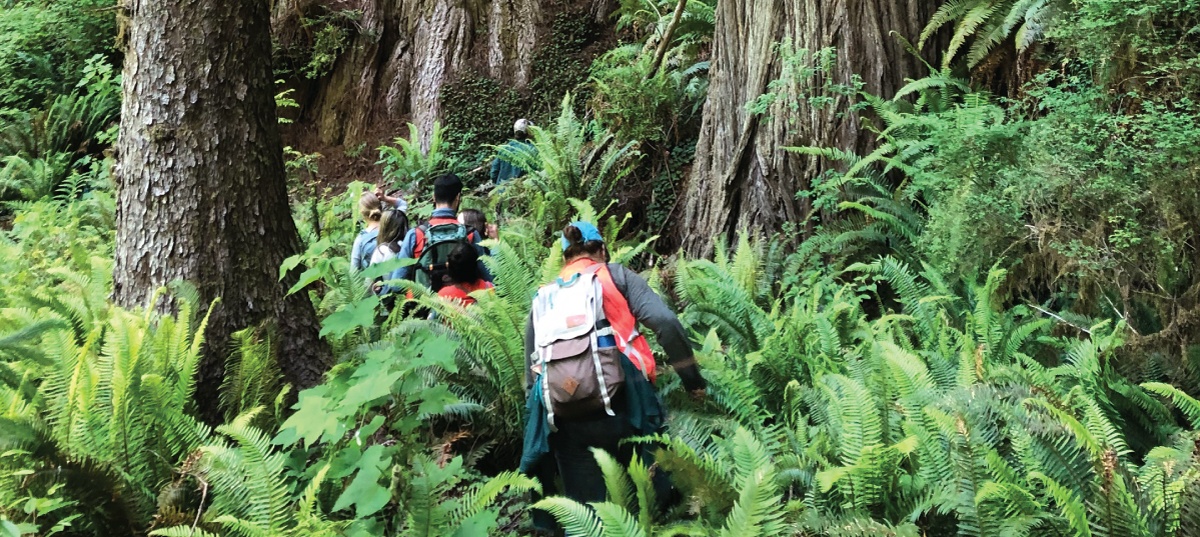
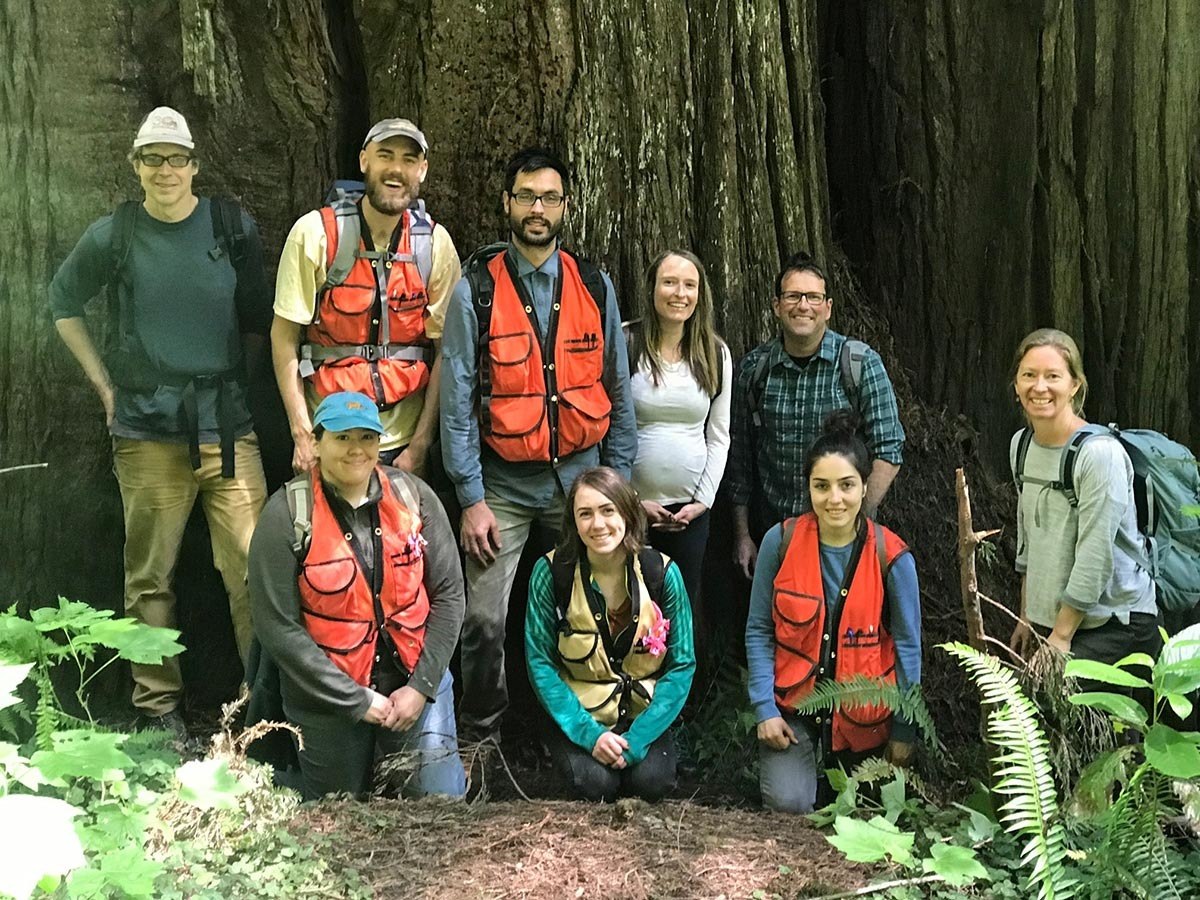
This team is embarking on a three year study of conifer resistance to drought. Our study will involve at least six species, both common and uncommon, across the Klamath Mountain region.Continue reading “Redwood Experimental Forest”
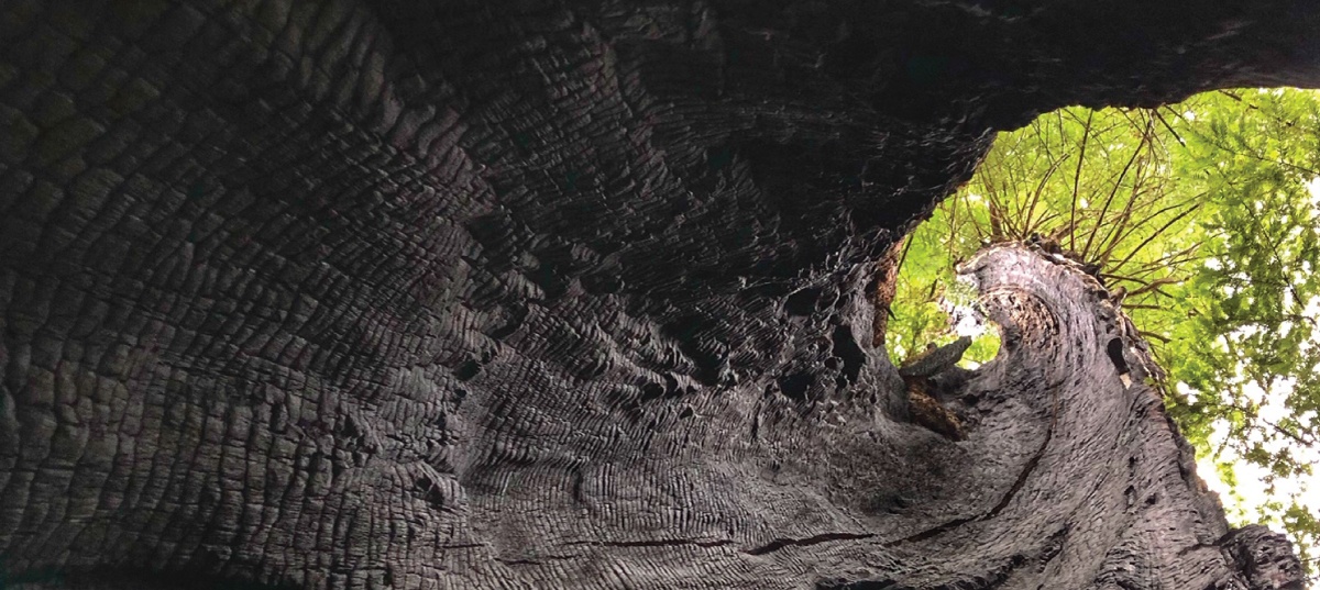
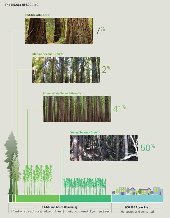
Old-growth forests are forests that have developed over long periods of time, without experiencing severe, stand-replacing disturbance—a fire, windstorm, or logging. Within the redwood forest belt, of the estimated 1.6 million acres of redwood forest remaining, only 7% is old growth. The remaining 93% is considered some level of second growth. Around Humboldt Bay where we live that number is approaching 99%. The old-growth trees that do remain are often mixed within the second growth forests. Most often, an old tree was left behind by loggers because of imperfections like broken tops or less than optimal heartwood. This post explores some of the residual old growth in my neighborhood.
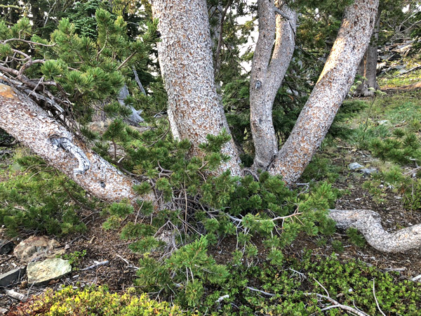
For the better part of July I was contracted by the Forest Service Region 5, in a partnership with the CNPS Vegetation Program, to follow up with our 2013 work mapping and monitoring whitebark pine in the north state. I visited numerous sites where I predicted Pinus albicaulis might occur to conduct surveys and improve our state-wide range map for the species. Overall, the health of the species in northern California is in slow decline due to a variety of factors including mountain pine beetle, white pine blister rust, global climate change, and recent high intensity fires. In an earlier post, I shared some highlights from the Modoc National Forest, this post shares images and highlights from Klamath National Forest whitebark pine work.
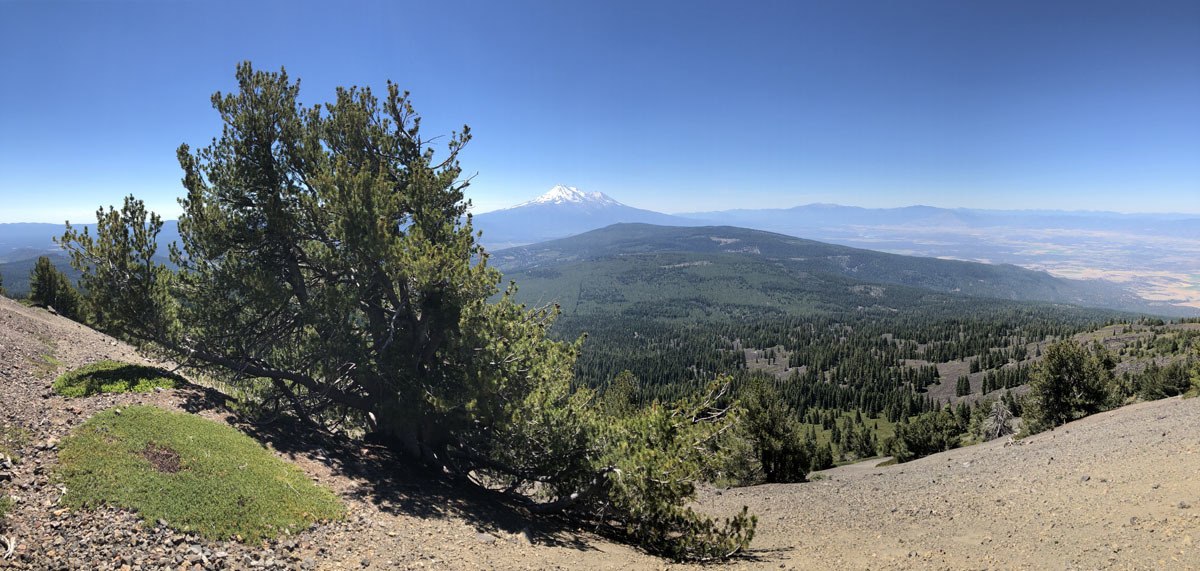
The Warner Mountains are a north-south trending fault block range in the northeastern corner of California, extending northward into Oregon. The length of the range is approximately 90 miles, with the northern California portion bounded by Goose Lake on the west and Surprise Valley on the east. In California, elevations range between 5,000-9,897 feet (on Eagle Peak). In the High Grade district, which is the extreme northern limits of the Warners in California, the range has a fairly even crest of 7500 feet, reaching an elevation of 8290 feet on Mount Bidwell. This is the area where I spent four days mapping and monitoring whitebark pine (Pinus albicaulis) for the US Forest Service.
The geology of the region is complex and compelled me to understand it better. Bedrock consists of sedimentary rocks of the Oligocene overlain by rhyolitic to basaltic volcanic rocks of the Miocene. The basal andesite is overlain by rhyolite and glassy rhyolite, which are in turn overlain by basalt flows. There are valuable minerals and gems found in this area that have justified a long-standing history of mining. Gold was the first and major extracted mineral soon followed by opals, petrified wood, and even obsidian. The range is a complex assemblage of interesting rocks for sure which help sculpt the regional ecology.
The northern Warner Mountains have a long history of mining.
The main event has been on the calendar for the past eight years. I have heard stories from friends who have actually traveled around the world to see the phenomenon–and from that alone I knew if there was and eclipse practically in our backyard, we needed to go. We selected a spot in the heart of the Ochoco National Forest and literally on the edge of the Mill Creek Wilderness in a meadow complex. The Mill Creek Wilderness Twin Pillars Trail was our hiking destination the day before the eclipse event. The wilderness protects a harsh environment typified by ancient lava flows, fire-prone conifer forests, and the Mill Creek Drainage itself. We found wonderful views across central Oregon and a fire-scared landscape on our way to the Twin Pillars. In addition, western larch (Larix occidentalis), was the conifer highlight on this adventure.