San Gabriel Mountains Presentation

Plant Exploring in the San Gabriel Mountains National Monument

Wednesday, May 11, 2016 @7:30 p.m. at the Arcata Masonic Lodge

From the California Native Plant Society North Coast Chapter:

Explorer, writer, and educator Michael Kauffmann will lead us on a journey into the Transverse Ranges of southern California to explore the world of what John Muir called the steepest mountains in which he ever hiked. Michael’s explorations began because of a Bigcone Douglas-fir mapping and monitoring project he is leading in conjunction with California Native Plant Society, but these studies have allowed him to make more discoveries–from one of the world’s largest oaks to the most isolated grove of Sierra junipers in the world. Michael will take us on a photographic journey from the mountain tops to the river canyons across one of the nation’s newest national monuments.
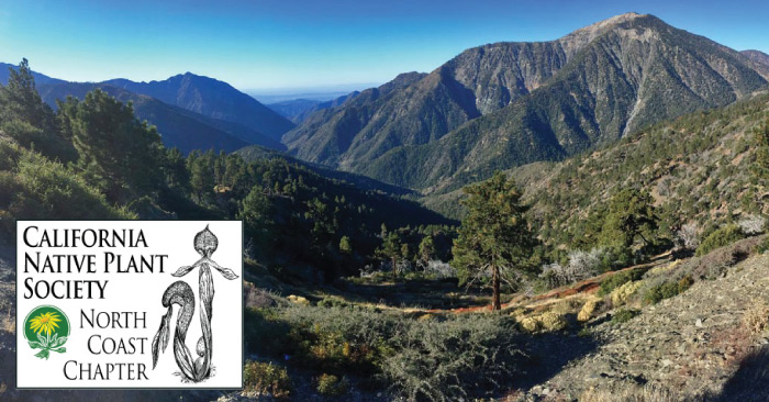
San Gabriel Mountains

San Gabriel Mountains – A Photo Tour

Celebrating the Bigcone Douglas-fir of the San Gabriel Mountains

After nearly a month of travel through one of the gems of Southern California, I’ve had enough time to reflect on all aspects of the journey–including the wonders of the wilderness and forest, as well as the state of the region. The San Gabriel Mountains remain wild, in large part, because of isolation due to slope. John Muir called them the steepest mountains he ever hiked in! It seems to me that the forests here are doing as well as they are, while our climate is rapidly changing, because of this isolation in slope. Forest pathogens travel much slower through heterogeneous landscapes with mixed stands of trees. Many of the Bigcone Douglas-fir stands we visited were in isolated on slopes of greater than 50º. Isolation sculpts the ecology of the mountain’s biota  in many ways, and makes life for Pseudostuga both easier and more difficult. That balance defines the ecological amplitude of many of the species on the California Floristic Province.

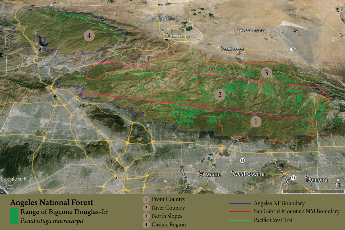
I’m still working on the full report for our findings, but in general it can be said that within region 1 of the map below, Bigcone Douglas-fir are not doing well. Elsewhere, they seem to be doing fine at the moment–especially if the species has been able to avoid high intensity fires. Reproduction is occurring at variable rates but they seem to like disturbed areas, like landslides, which the San Gabriels have no problem offering.
map-PSMA

Continue reading “San Gabriel Mountains – A Photo Tour”

Record Bigcone Douglas-firs

Exploring the San Gabriel Mountains National Monument

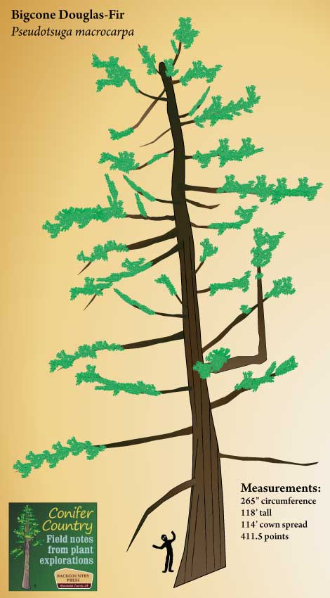
In my search to understand Bigcone Douglas-fir (Pseudotsuga macrocarpa) within the Angeles National Forest, I found myself in secret canyons and along steep hillsides that few people have ever explored. I thus took it upon myself to document more than just our selected data plots for Bigcone. In previous posts, I’ve shared some of the large angiosperms I’ve run across. Here is the documentation of the second largest Pseudotsuga macrocarpa yet measured — a record Bigcone Douglas-fir.

This Bigcone was found on the edge of a wash called Holcomb Canyon within the Devil’s Punchbowl Natural Area. The tree is nearly as big around as the record specimen in Baldy Village but just not as tall. I have heard a rumor  that the Baldy tree lost some of its crown — so I wonder if the numbers I have for this tree are still correct. Regardless, the tree in the Punchbowl is much more dramatic, being that it is within the Pleasant View Ridge Wilderness and not in the middle of town!

Devils_PSMA
Continue reading “Record Bigcone Douglas-firs”

San Gabriel Mountains National Monument

Bigcone Douglas-Fir (Pseudotsuga macrocarpa) in the San Gabriel Mountains National Monument — Part two

The 346,177 acre San Gabriel Mountains National Monument was dedicated in October 2014 by a proclamation by President Obama after nearly 10 years of work to get it established.  It contains the Sheep Mountain Wilderness, the San Gabriel Wilderness, and Pleasant View Ridge Wilderness as well as most of the major peaks including Mount San AntonioMount Baden-Powell, and Throop Peak.

I’ve been contracted by the US Forest Service, in partnership with the California Native Plant Society, to map Bigcone Douglas-fir in the monument as well as write a technical report about our findings. We did initial reconnaissance last week and will return later this year to initiate the project’s data collection phase. What follows are images from our trip across the range to meet the species and the monument.

IMG_0986
Looking deep into the San Gabriel Wilderness.

Continue reading “San Gabriel Mountains National Monument”

Bigcone Douglas-fir

Pseudotsuga macrocarpa

Because I will undoubtedly be making more posts about PSMA, as I embark further into a mapping and monitoring project in the San Gabriel Mountain National Monument, I thought a post that provides an overview of this amazing species would be in order.

IMG_3538
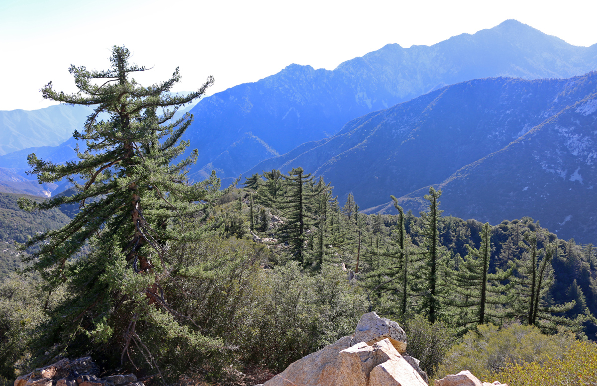
Bigcone Douglas-fir in the San Gabriel Mountains.

It has been called the desert fir (Jepson 1920), bigcone spruce (Munz 1959), false hemlock (Sargent 1884), and ultimately bigcone Douglas-fir (Abrams 1923). Clearly there was confusion as to this species relationship to other members of Pinaceae. It is now described as a Pseudotsuga, being ecologically distinct from its taxonomically complex western North American counterpart, Douglas-fir (Pseudotsuga menziesii). In addition to bigcone in Southern California, five other species of Pseudotsuga occur across Canada, USA, Mexico, Japan and China.

Continue reading “Bigcone Douglas-fir”

San Dimas Experimental Forest

Bigcone Douglas-Fir (Pseudotsuga macrocarpa) in the San Gabriel Mountain National Monument — Part one

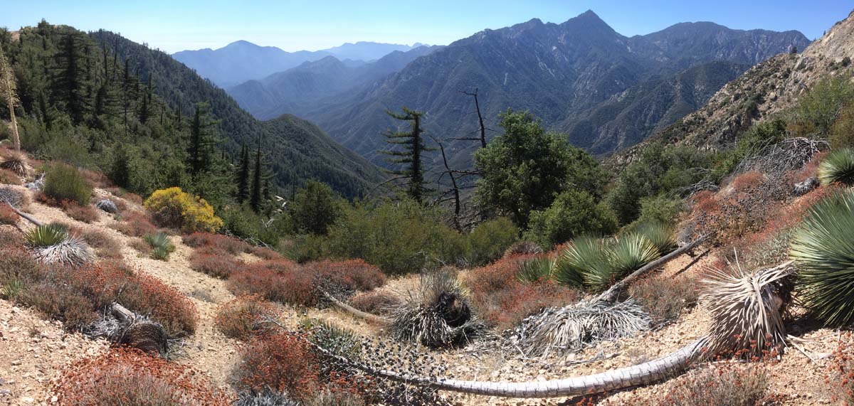
I have always wanted to visit the San Dimas Experimental Forest and as part of a mapping and monitoring project for bigcone Douglas-fir, I finally had the opportunity. The “forest” descriptor in the area’s title is a bit misleading, as the majority of the vegetation is chaparral–but there are trees and it was our mission to find them (or at least what remains). Six major fires have been documented here since 1914, with the most recent occurring about 10 years ago. These fire events, along with climate change, are rapidly reshaping the remaining stands of trees. What follows is a photographic journey into the front range foothills of the eastern San Gabriel Mountains.

Cucamonga Wilderness from the San Dimas Experimental Forest.

Continue reading “San Dimas Experimental Forest”

Baden Powell – San Gabriel Mountains

Original Publication DATE: 5/29/2011

On the way south I decided to revisit some of my favorite hikes from when I lived in the San Gabriel Mountains and taught outdoor education. The top on the list was the summit of Mount Baden Powell. Because the summit is 9,399 feet, it is within close proximity of the Pacific Ocean (on the rare smog-free day it is visible), and on the edge of the Mojave Desert there is astounding plant diversity meeting and mixing on the flanks of the mountain. Day one of my journey I climbed the peak and day two I dropped into the San Gabriel River valley within the Sheep Mountain Wilderness to enjoy the lower elevations of Baden Powell’s mastiff. Both were amazing hikes–pictures follow.

The Ascent – Mount Baden Powell

Mt. Baden Powell
The Pacific Crest Trail skirts the ridge and takes in the dramatic views on Baden Powell–the inverted layer of smog above the Los Angeles basin is also visible.

Continue reading “Baden Powell – San Gabriel Mountains”