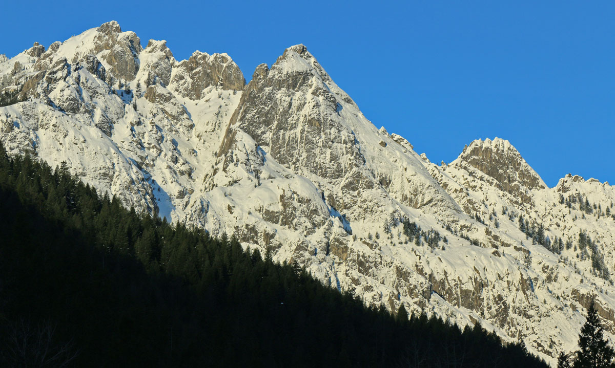
Castle Crags State Park is within the Klamath Mountains geomorphic province. The eastern Klamath Mountains are built from the oldest rock in the range with the newest to the west. This is due to the continued accretions of oceanic crust added on to the western edge of North American continent. Rocks surrounding Castle Crags are mostly of the Ordovician-aged (443–490 million year old) Trinity ultramafic sheet.
The dramatic granite of Castle Crags State Park is the result of a plutonic intrusion that is 160 million years old..
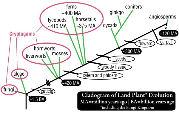
In 1883, August W. Eichler, the prominent plant taxonomist of the day, divided the plant kingdom into two groups: Cryptogams and Phanerogams. Cryptogamae are seedless and have inconspicuous reproductive structures while Phanerogamae produce seeds and have visible reproductive structures (like flowers and cones). Cryptogamae means hidden reproduction, referring to the fact that no seed is produced. Instead reproduction occurs by spores. Eichler only classified plants as cryptogams but the definition has since expanded to include, among others, mushrooms and blue-green algae. This collective group, while taxonomically incoherent because it includes species from more than one Kingdom, represents the most ancient lineages of land-dwelling species on Earth.
In mid-September I had the opportunity to assist in guiding an EcoFlight across the North Coast and Klamath Mountains. I was invited by the California Wilderness Coalition to point out landmarks and important areas to Congressman Huffman’s staff and local media outlets as they relate to the Northwest California Wilderness, Recreation, and Working Forests Act. The following is a photo tour from the flight that highlights parts of the bill. If so inspired, please follow the links at the end to get involved!
Coastal lowland forests of the Klamath Mountains. From the future book, The Klamath Mountains: A Natural History.
The coastal lowland forests receive the most annual rainfall of anywhere else in the Klamath Mountains. From the north in Oregon the Coquille, Rogue, and Illinois rivers drain southwest Oregon and the Smith River country is California’s only temperate rainforest. The rich soils, temperate year-round growing season, and high rainfall (often over 100 inches) nurture these impressive forests.
Klamath coastal lowland forests are typified by dense, closed canopies on well-developed soils (sometimes serpentines). The dominant tree species have high colonizing abilities, long life, and a wide ecological tolerances to environmental conditions, including dry summers with occasional persistent fog. These forest thrive below the snow belt on the extreme western slopes of the Siskiyou Mountains. Species like Douglas-fir (Pseudotsuga menziesii) and Port Orford-cedar (Chamaecyparis lawsoniana) secure the highest place in the canopy, often approaching 300’. A second canopy forms one hundred feet below and includes species like tanoak (Notholithocarpus densiflorus) and madrone (Arbutus menziesii) where they share an understory with coastal specialists like salal (Gaultheria shallon) and evergreen huckleberry (Vaccinium ovatum). With the high volumes of rain that falls each winter, banks of coastal rivers and streams are frequently disturbed and then repeatedly pioneered by red alder (Alnus rubra).
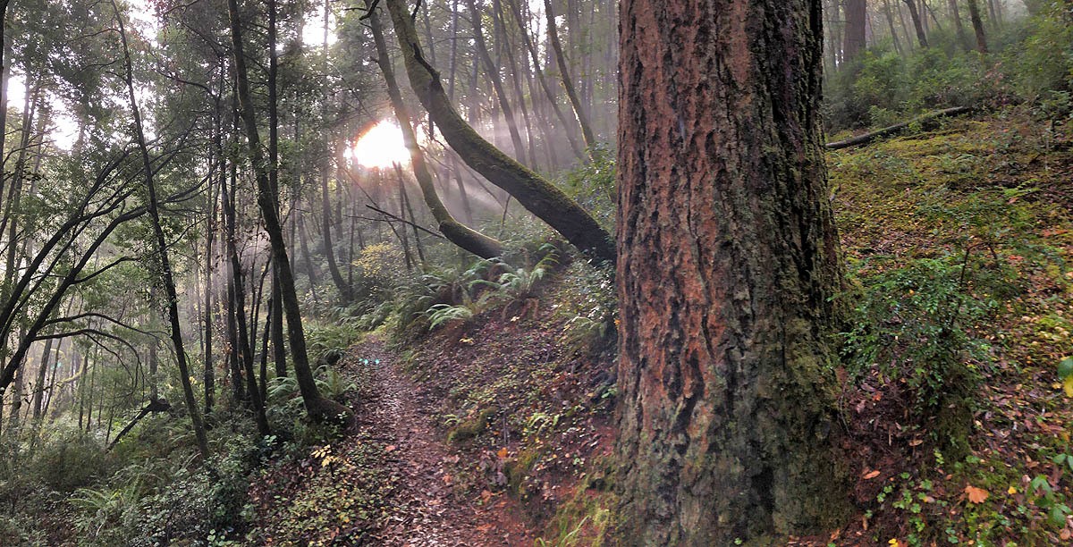
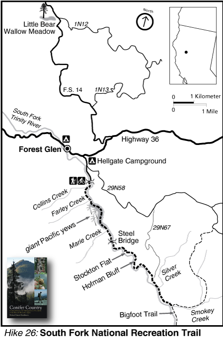
Botanizing the South Fork National Recreation Trail – Trinity County
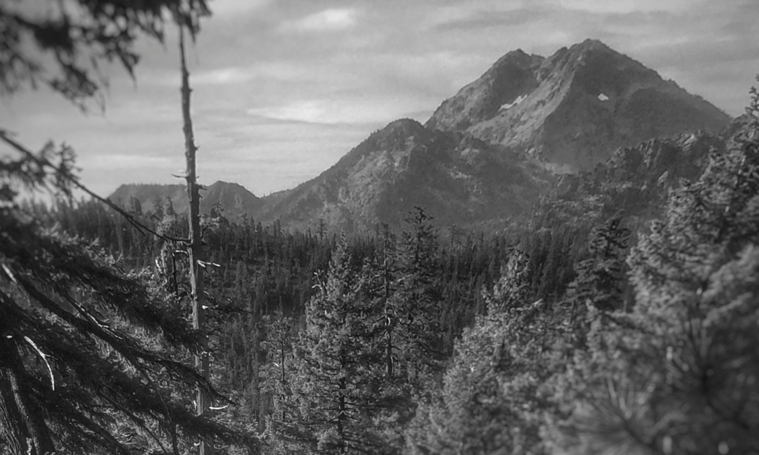
Hiking Hell Gate
Hell Gate highlights the lowland interior forest of the southern Klamath Mountains along the Trinity River on the Shasta-Trinity National Forest. The Trinity is surely one of the most spectacular rivers in the state and this hike is along a roadless stretch in the upper reaches of the south fork. The old-growth Douglas-fir/mixed evergreen forest is top-notch, especially along the north-facing sections of trail. Oak woodlands are on benches above the river, with Oregon white oak mixing with picturesque grasslands–though the lack of fire is allowing extensive conifer encroachment. Some of the largest Pacific yew I have ever seen can be found along the trail as well.
The area is dotted with private in-holdings and these beautiful old homes appear at random intervals along the trail. The trail is open to biking and—for these home-owners—OHVs. Swimming opportunities abound and solitude can be easily found, especially in the winter (there are bridges on all major stream crossings). The hike, as written and drawn in Conifer Country, is 7 miles to Smokey Creek but the National Recreation Trail extends the length of this roadless stretch of river—for a total of 15 miles from Hells Gate to Wild Mad Road. The upper reaches of this trail is part of the Bigfoot Trail.
I am highlighting three species below that I found on our hike. One that is a regional endemic, one that reaches it coastal range extension here, and a third that is found across the northern hemisphere. These selections highlight the regional diversity with a biogeographical perspective.