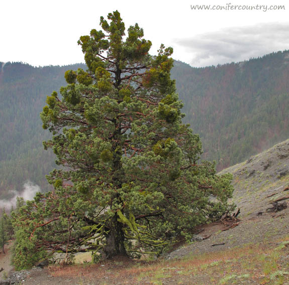
Northern California’s Coast Range
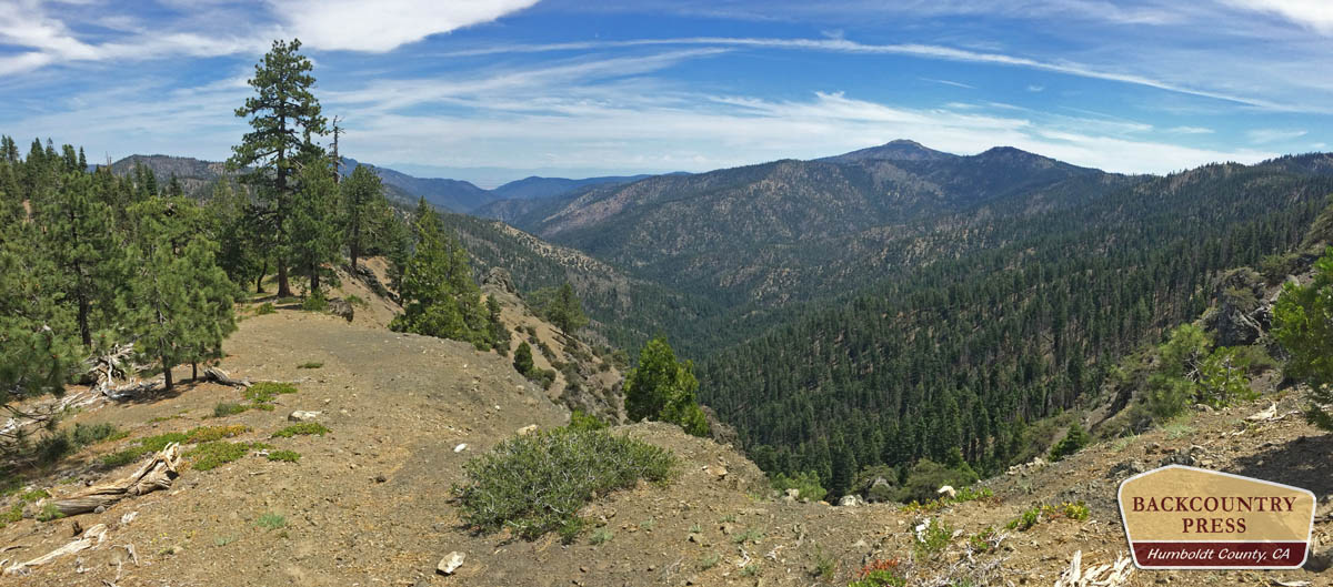
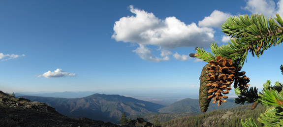
Mount Linn–also called South Yolla Bolly Mountain–is the highest point in the Coast Range of northern California. It is located to the west of Corning but the area might as well be a world away from the population centers of the state; it is rarely noticed by travelers as they drive Interstate 5. Once off the interstate, scenic forest service roads still take nearly 2 hours to wind to the trailhead. I revisited this fine mountain in July of 2016 to set up a photo-monitoring plot along the Bigfoot Trail and took the time to also map the vegetation on the mountain–particularly the grove of foxtail pines near the summit. This is one of the smallest (12 acres) and most isolated groves for the entire species and one that I am very much concerned about due to climate change. Shasta firs are encroaching upon the trees as snowpack declines and temperatures warm. I was happy to see the trees doing well and many young foxtails sprouting up–just not as many as there are young firs.
